Low-frequency radar optimized for root-zone moisture estimation, enabling precision irrigation and sustainable farming.
110-130 MHz
Early Access Inquiry
Ultra wideband high-frequency system for high-resolution non-destructive testing, including road inspection and infrastructure assessment.
550 - 3000 MHz
Early Access InquirygprSense® is a next-generation ground-penetrating radar (GPR) and software solution designed for remote soil and material property estimation. Unlike conventional GPRs focused on imaging, gprSense® retrieves the medium's electromagnetic properties using a calibrated radar and a complete physics-based electromagnetic model. This powerful approach enables accurate soil moisture mapping, material characterization, and high-resolution imaging, with unmatched clutter reduction by filtering out radar-antenna effects. While inherently slower than traditional GPRs, it delivers normalized, high-accuracy radar images with enhanced subsurface clarity. Leveraging Lambot et al.’s (2004) full-wave radar equation, gprSense® integrates cutting-edge radar technology into a real-time software solution, making advanced radar data processing accessible to scientists, farmers, and industry professionals.
Contact
The development of gprSense® was funded by the agROBOfood project (MIRAGE, Grant Agreement No. 825395) and the ICAERUS project (gprSense®, Grant Agreement No. 101060643) through their Open Calls, with support from the European Union's Horizon Europe research and innovation program.
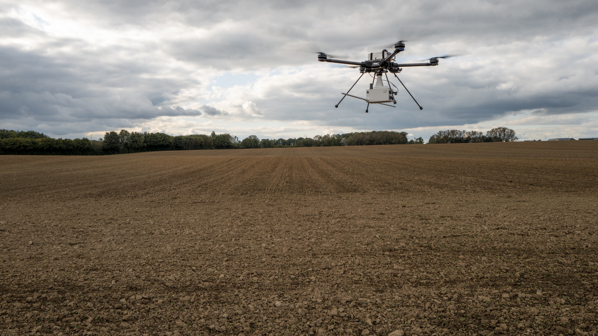
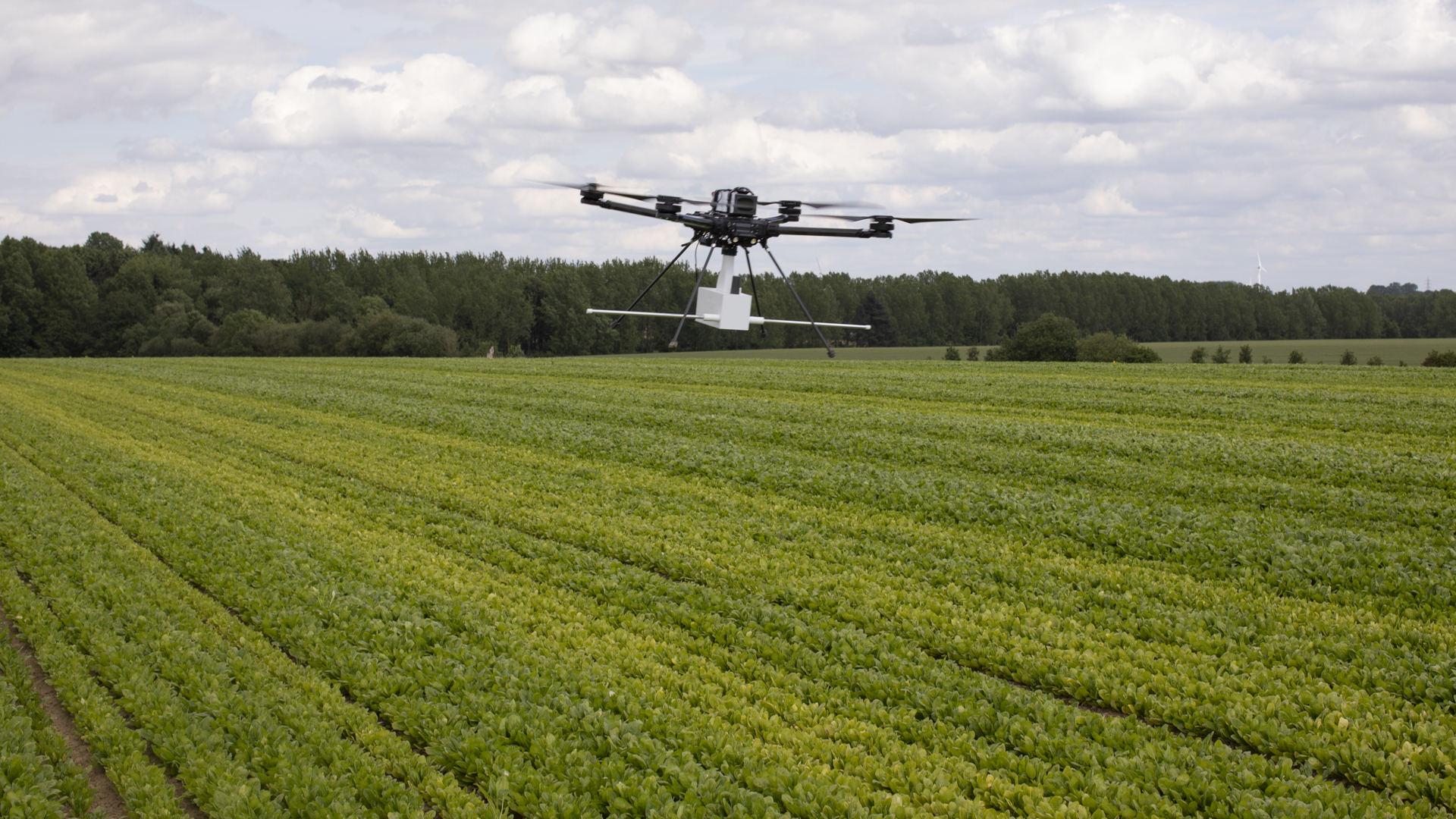
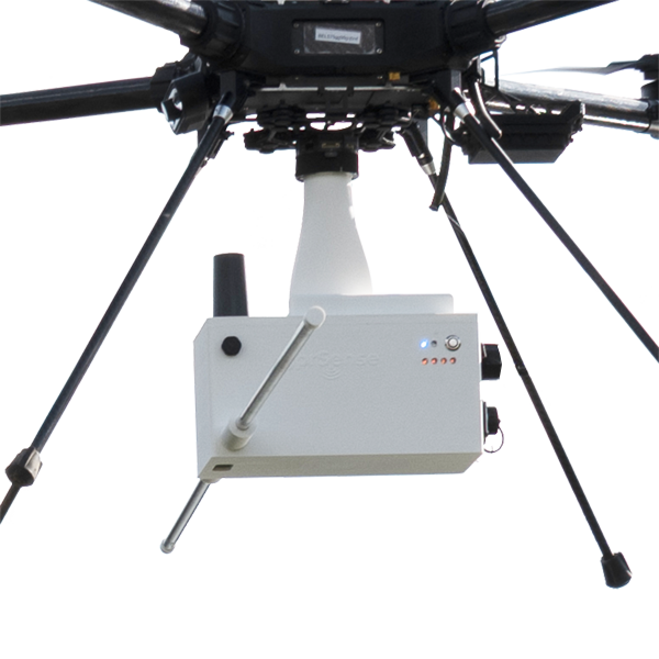
gprSense® features a calibrated Stepped-Frequency Continuous Wave (SFCW) radar, providing full user control over the frequency range for optimal subsurface sensing. The dipole-based LF model, with adaptable rod lengths, includes a LiDAR rangefinder for automated calibration over water bodies, while the HF model features a log-periodic dipole antenna (LPDA) for ultra-wideband (UWB) radar imaging. Designed for both drone and mobile deployment, this lightweight GPR integrates differential GPS for precise georeferencing.
gprSense® provides a web-based interface for seamless radar control, data acquisition, and advanced processing, all powered by Edge Computing technology. Post- or real-time data processing takes place directly within the radar unit, ensuring ultra-fast results without relying on external computation. This enables real-time, full-wave inversion of subsurface properties, with immediate soil permittivity and moisture mapping. The web-based architecture with real-time streaming allows direct integration with automated irrigation robots, enabling dynamic water application adjustments based on live soil conditions. Open-format text file exports ensure compatibility with external analysis tools.
gprSense® adapts to diverse subsurface sensing needs with modular antenna configurations and customizable frequency ranges. The LF model supports adjustable dipole lengths for flexible tuning from 1 MHz to several hundred MHz, while the HF model ensures high-resolution imaging from 550 MHz to 3 GHz, with extended capability up to 6 GHz. Whether used for agriculture, environmental monitoring, or geophysical surveys, gprSense® balances advanced computing with ease of use, making it accessible to both experts and non-experts.
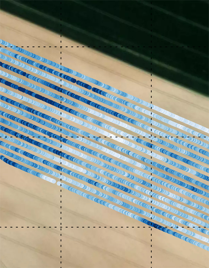
gprSense® provides high-resolution root-zone moisture mapping, allowing farmers to distribute water efficiently based on real field variability. Instead of uniform irrigation, gprSense® enables precision water allocation, ensuring that drier areas receive more water while naturally moist zones are not over-irrigated. In collaboration with Osiris Agriculture (France), gprSense® is being integrated with the Oscar irrigation robot to improve spatial water management in agriculture. The results of the EU MIRAGE project suggest that adapting irrigation to soil heterogeneity can reduce water consumption by more than 30%, while also enhancing crop productivity by better addressing plant water needs.